A guide to wintertime recreation in the Mad River Valley backcountry.
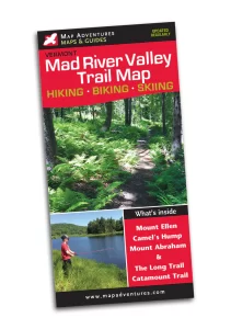
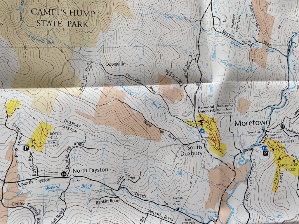
Backcountry skiing has a season and a place. When and where to go are the two big questions for BC enthusiasts. Where can depend on when, and vice versa. Here is a short essay on when and where to go for wintertime backcountry adventures in the Mad River Valley. Though I do not have a definitive guide with maps, I highly recommend the Mad River Valley Trail Map by Map Adventures, produced in collaboration with the Mad River Valley Trails Collaborative. The map includes trails, parking areas, and information on the trail type and uses. It demarcates public and private land areas. Though not all trails are shown on the map for various reasons, this map will provide the basis for self-guided discovery. The map can be purchased directly from Map Adventures or locally from Clearwater Sports and Onion River Outdoors. By the way, Map Adventures publisher Steve Bushy is one of the founding members of the Catamount Trail Association (CTA). This durable map can be the key to opening many doors to outside adventures in and around the Mad River Valley.
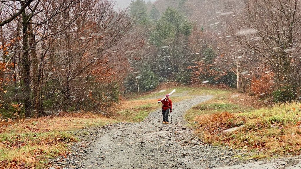
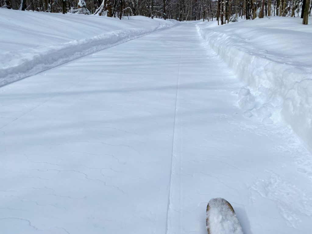
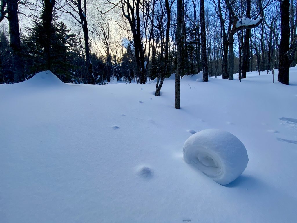
The ski season can begin as early as mid-October if we are lucky and go until the last vestiges of manmade snow melt in mid-May. Skiers during the early and late seasons rely on the cleared trails of the ski areas, where just a few inches of cover can provide joy safely. It takes longer to build a base in remote forested areas to cover the blowdowns, hobblebushes, and other obstacles. The season for remote backcountry can begin as late as February or March to be safe for downhill traveling.
If we consider the ski areas as a venue for earning turns, we should consider three distinct parts to the season: pre-opening, open season, and post-season. The early turns of October, November, and early December are often found on the upper trails above 2,000’. Sugarbush prohibits uphill travel in the early season due to mountain operations in preparation for the season. However, Mad River Glen has been open to early earned turns. The past several years have seen droves of uphill skiers at the top of the Sunny Side Double and Starks Nest once Mother Nature covers the trails. The Sugarbush Golf Course, well-mown meadows, and town parks are areas that can provide early-season ski travel without much snow cover but lack the steep downhill experience. Meadow skipping, forest roads, and low-angle trails can safely get you out into nature on skis during the early season while exercising caution for hidden obstacles. Lincoln Gap Road, once sufficiently covered, is a fun hike and ski for early turns.
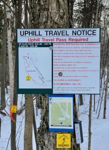
Once the ski areas are open, uphill travel is allowed on certain trails at certain times. Sugarbush has developed an uphill route at Mount Ellen separate from ski trails, providing access to Lower FIS and open trails below the mid-mountain lodge. During daily operations, Mad River Glen is open to uphill travel for shareholders and pass-holders only. The mountain manager will post the status of uphill travel, opting to prohibit it during certain times to preserve the snow condition and for other safety considerations. You should check the websites of each ski area to learn the current rules each time before going. Here is a list of ski area links to their uphill policy pages compiled by splitboardvt.com for your quick reference. Be sure to obtain the necessary uphill pass. Once the ski areas are closed for the season, there are few restrictions on uphill and downhill travel. The best snow of the season can be 4 inches of fresh creamy powder in May on top of the leftover man-made, but you better get up early before the sun turns it into a paste.
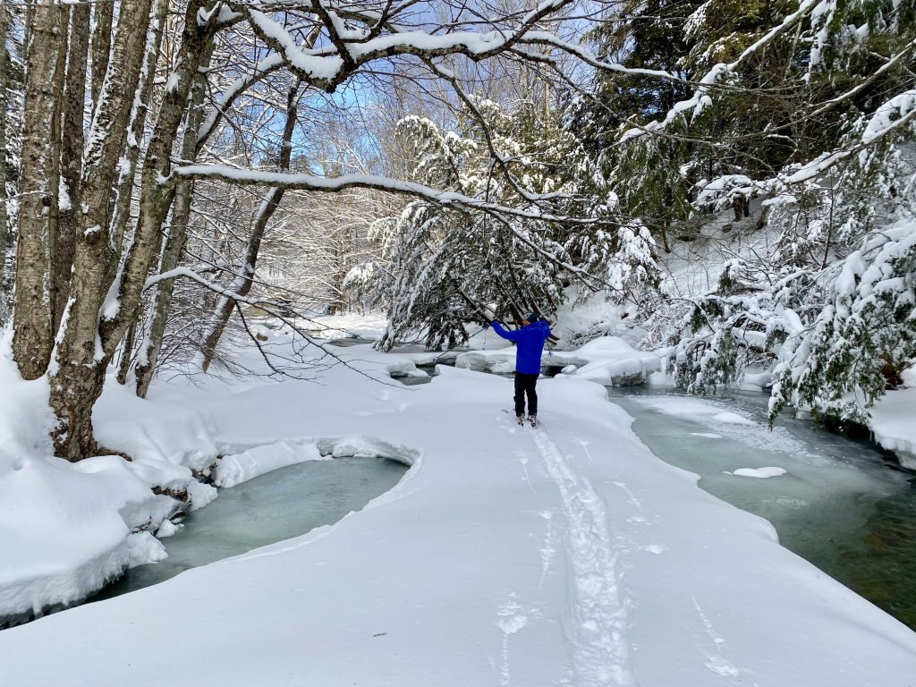
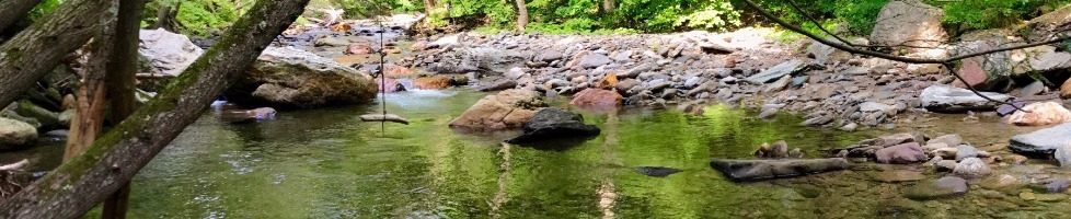
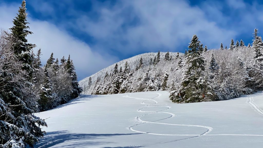
For true backcountry adventures, the season is shorter because it takes three to five feet of a base to cover the terrain for safe downhill travel in forested areas. Once the hobblebush and other obstacles are covered, many options exist in and around the Mad River Valley. Though there are no advertised and managed backcountry ski zones, pure, natural Vermont BC terrain exists for those who adventure out. There are several areas for exploring on public land accessible by trailhead parking that can be found on the Mad River Valley Trail Map.

If you are uncertain about the status of access to skiing, it is best to ask permission from the landowner before you go. Skiing on snowmobile trails on private land should only be done with the landowners’ permission. To share snowmobile trails harmoniously on public land, please leash your dogs, stay single file to the right, and have a friendly wave and smile. For low-angle BC touring, the multi-use trail systems of the Mad River Riders, a chapter of the Vermont Mountain Bike Association, provide access to a wide range of options throughout the Mad River Valley. This organization is arguably the most effective at building sustainable trails on both private and public lands that are also available for recreation once the wheels are put away. Check out the Enchanted Forest in the Camel’s Hump State Forest or the network of trails in the National Forest at Blueberry Lake.
The Catamount Trail traverses through fifteen miles of the Mad River Valley, descending from the Lincoln Gap, crossing Sugarbush Golf Course to the hills of Fayston, and exiting at Huntington Gap. There are several parking areas for access. Additionally, trails on town-owned property, such as the Scragg Mountain Town Forest, Boyce Hill in Fayston, Moretown Town Forest, and the Eaton Town Forest in Warren, are available for some easy-to-moderate BC touring with parking at the trailheads. The vast lands of the Green Mountain National Forest can be accessed via Austin Brook Road, Stetson Hollow Road, and Lincoln Gap Roads. Trails within the Camel’s Hump State Park, Phen Basin, are accessed at Battleground Condominium on Mill Brook Road, and trailhead parking on Murphy Road, Phen Basin Road, and Stagecoach Road. To access the Dowsville Headwaters Area, use Ward Hill Road in Duxbury. If the parking is full, go elsewhere. This is just the tip of the iceberg. You may have a special place that you enjoy with friends. Spread out.
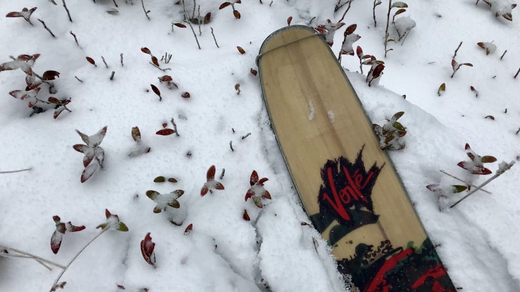
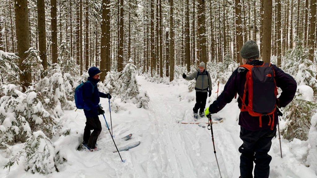
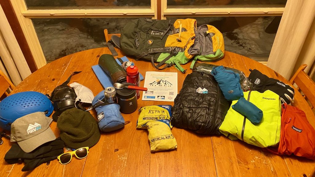
Of course, what to use is also an important question. From skis with skins or climbing fish scales, telemark, or alpine touring (AT) bindings to split boards, snowshoes, or micro-spikes, many options depend on the snow conditions, terrain, and timing. Experienced BC enthusiasts know the need to be flexible on where and when to go based on ever-changing conditions. The decision of where to go and what to use is often made on the morning of the adventure. If you are heading for the trailhead and uncertain, “Heed the call, bring it all.”
The most important word in the BC vocabulary can be ‘no.’ No, not today. Do your research, make a plan, be prepared to change it as needed, and have what you need to be safe, comfortable, and successful in navigating the conditions and the terrain that you choose. The Mad River Valley Backcountry Coalition (MRVBC.org) offers workshops and training clinics on wilderness first aid and backcountry safety and etiquette. Check out their BC Smart page, which has helpful tips on being prepared for a safe, responsible backcountry experience. Join the CTA/MRVBC, and look for upcoming posts on future clinics, tours, and happy hour Friday meet-ups. These informal indoor gatherings allow for the greater BC community to meet new friends, enjoy the camaraderie, share tips on where to go and what to bring, and make a plan for a Saturday adventure.
As you can see, there are many options in the Mad River Valley for wintertime adventures on snow if you have the right tools, maps, and gear. So support your local outfitter and get what you need. While there, pick up your copy of the Mad River Valley Trail Map, start exploring with your trusted BC buddies, and spread out.
Kevin Russell